 |
Maps of Camp |
|
Maps of Camp |
 |
 |
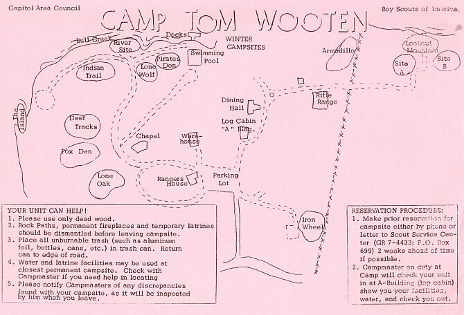
| This map was published
in the March 1956 council newsletter called "The Corral." There were
11 campsites. The map shows the old dining hall (B). Work began
on the new dining hall, located where campsite 11 is, in the early part
of 1957. For a larger picture of the map, just click on the map.
. |
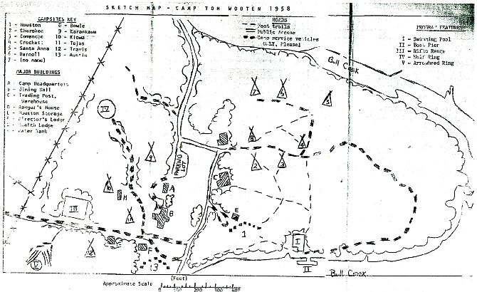 |
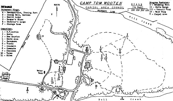
| This map was published
in 1958 after the new dining hall (B) was built. The old dining hall now
became the Trading Post - Warehouse (D). A new Arrowhead Ring (V)
was added just below the Rifle Range, replacing the one located behind
the log cabin. Some of the campsites (Karankawa, Iowa and Tejas)
were moved and Darnell (6) and "No Name" (7), later to be named Cartwright,
were added. Click on the map to see a larger picture.
. |
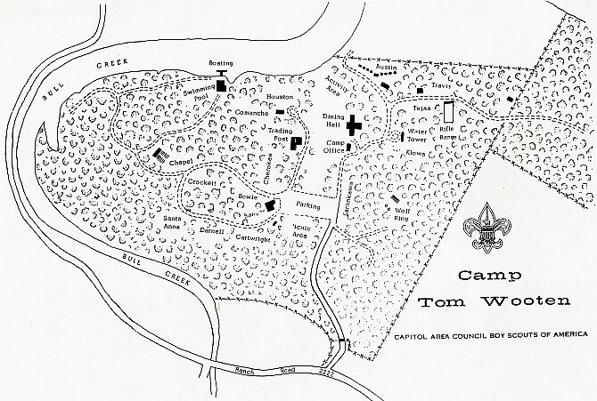 |
| This was one of the last
maps made of the camp. Notice that the Chapel is ow located below
Crockett campsite. Also the parking lot has been moved and
the Arrowhead Ring has been deleted from the map. Click on the map
to see a larger picture.
. |
|
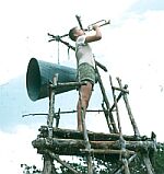
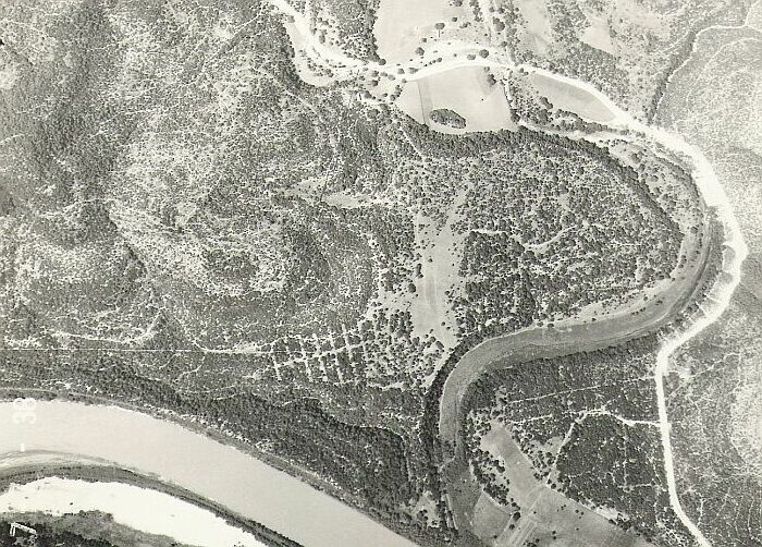
| OA | APO | Lone Star Trail | Pack & Paddle | Training | Remembrances | Provisional Troop | |Professional Staff | We want to thank Leo Lee for providing us with the 1956 map and thank Paul Snider for providing us with the 1958 and the last map of the camp. And thanks toTe Starr for the aerial view of camp in 1938. |